May 23rd – June 2nd, 2016
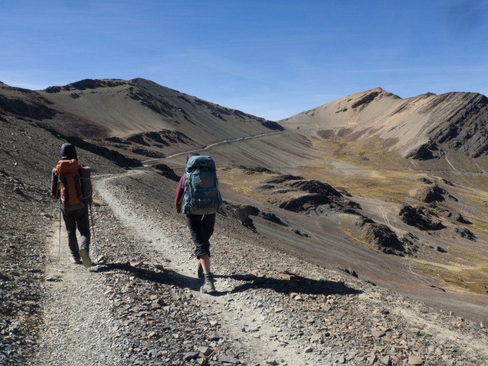
We spent the first half of the Cordillera Real trek on the east side of the Range. On day 6 we crossed the range to the west side via Wila Llojeta pass (4980m). We had discussed our expectations of what the other side would be like to the point that we spoke of it as an almost mythical undiscovered land. Surely it would be much warmer there, and the grass would be soft (the east side of the Cordillera Real is covered in short grass that looks inviting but turns the unfortunate sitters bottom into a pin cushion of short brown needles). The sunsets would be spectacular, and there would be beer and confetti raining down on a great big all you can eat BBQ. Some of our expectations were realised, some weren’t. The whole day was spent walking on roads, which we agreed would normally be off-putting but at this point quite welcome as it made for easy travel. The pass afforded beautiful views of crumbling glaciated peaks.
As we descended to the west side of the range the landscape did change drastically as we entered a vast glacially formed valley with smooth polished rock and golden brown grass covering rolling hills beyond. To our delight the grass wasn’t spiky at all, and made for excellent sitting. We put that one in the win column and left the rest or our expectations pending as we descended and made camp between two large glacial fed lakes, Khota Thiya and Q’ara Khota.
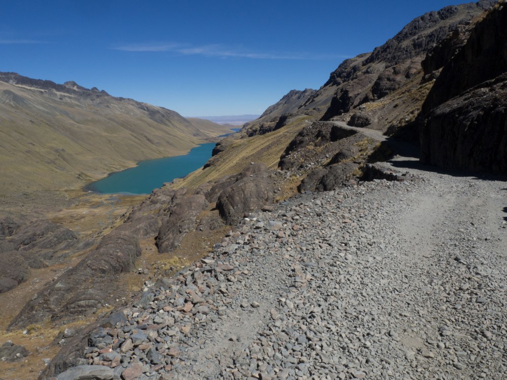
Day 7 consisted of ascending grassy hills to the next pass and dropping into another grassy valley. From there we climbed to a refugio we thought we might be able to stay at. It turned out to be under construction and surrounded by a minefield of turds and TP, so we camped at a lake nearby.
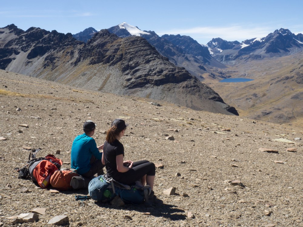


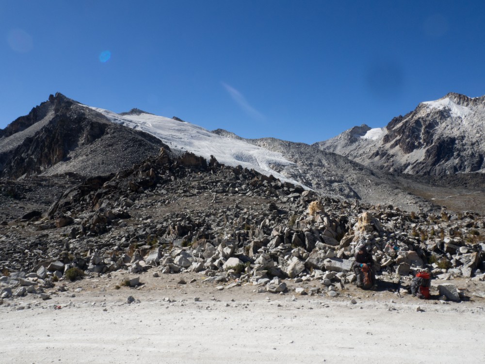
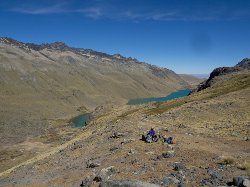
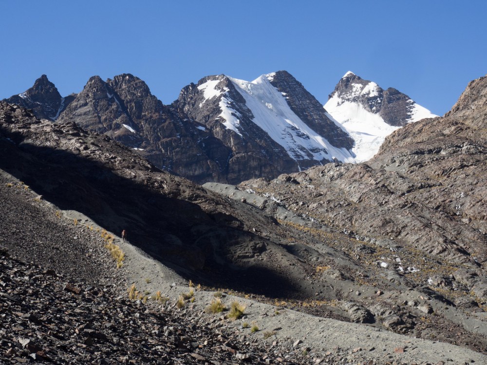
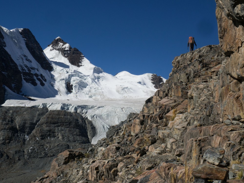
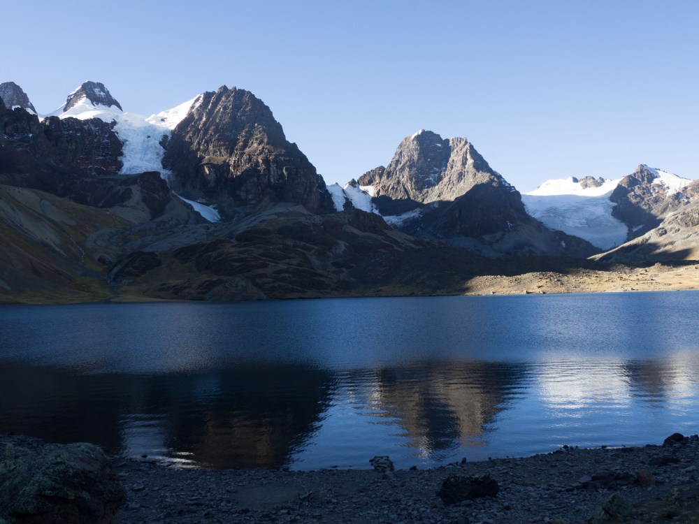
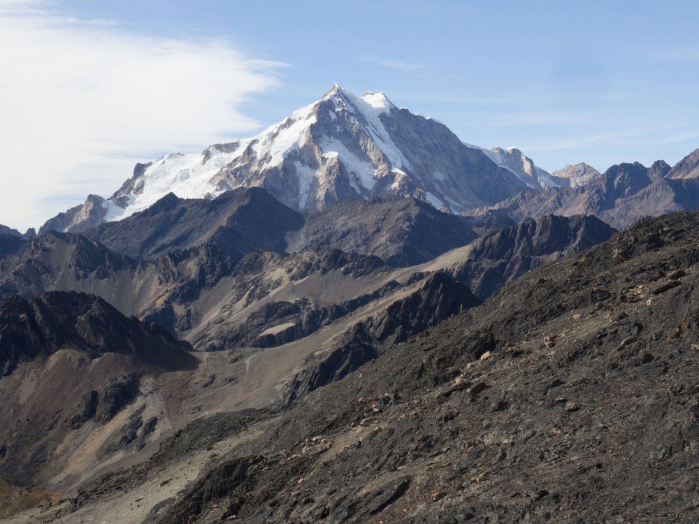
The 8th day was probably both the most spectacular and diverse day of the trek. It was also in contention for being the longest. We climbed from the refugio first over grassy hills, and then graduated to a moonscape of rock and shale. Here we climbed a small peak that we erroneously thought was mentioned in the trail description. We wouldn’t find the right one until much later in the day. After bagging the peak and enjoying some nice views of the range we descended into the next valley and had lunch in the lee of a fisherman’s hut next to Laguna Sistana. We were a bit confused by the terrain ahead, which seemed pretty big and complex. After consulting the GPS we discovered that we were in fact not in the valley we thought, meaning we still had 2 more passes to do that day. We were all feeling seriously pooched after lunch, but managed to surprise ourselves by setting a blistering pace and bagging the next pass in an hour. From there, we descended into the next valley and hiked along the bigger, deeper, and colder looking Laguna Juri Khota. We ascended the valley quickly, but not without a quick coffee break. From there we started to climb the day’s third pass along a good trail over moraine and glacier polished rock. This led us into a spectacular hanging valley offering beautiful views of Mt. Condoriri and its glaciers from another alpine lake.
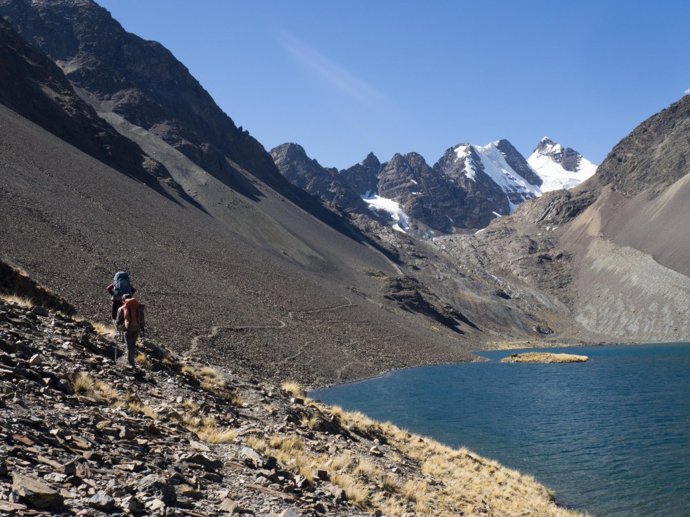

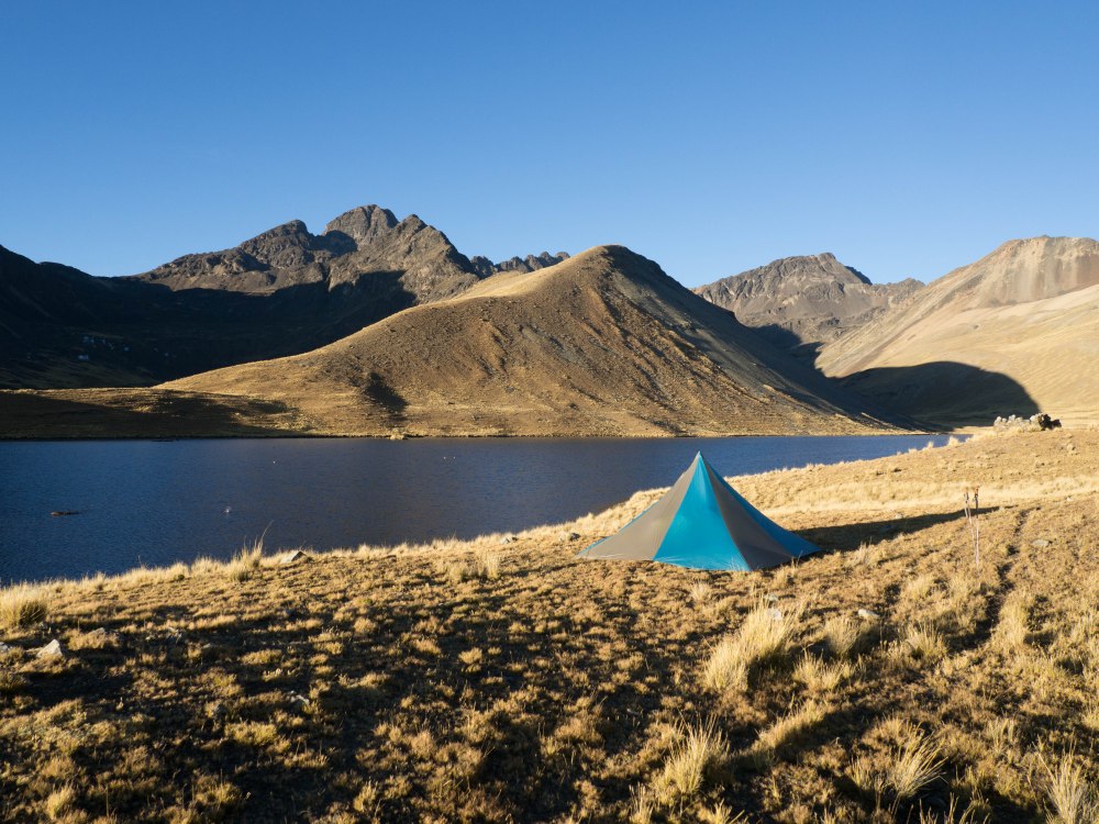
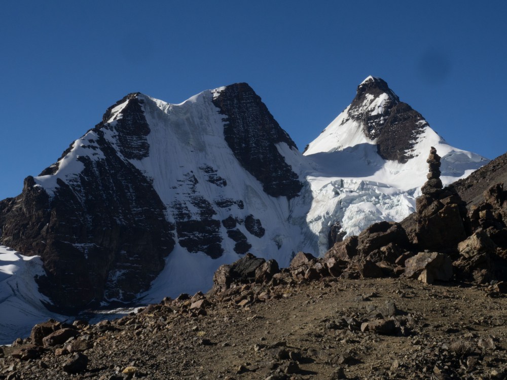
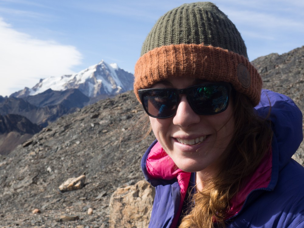
From here there’s a fun section of slightly exposed scrambling on good rock, and then a deceptively long trudge across much looser boulder fields to the top of the Paso Apacheta (5130m). It was a real grind and my legs felt like jello. From the pass the trail to Pico Austria was clearly visible. This was the peak we were supposed to climb that day but we didn’t have energy or time to attempt it. From the pass we descended 500m to Condoriri base camp. It’s one of the most beautiful spots on the trek. From camp we enjoyed views of Condoriri and Pequeno Alpamayo, across Laguna Chiar Khota. There we met a group of friendly Swiss mountaineers who had just arrived to climb peaks in the area. We would meet them again on Huayna Potosi, which we had planned to climb after the trek.

After a cold and windy night we packed up and climbed out of the beautiful valley. It struck me as we climbed that my legs began to burn almost immediately. I didn’t really feel at all recovered from the previous day, and on day 9 of walking I would have expected to feel stonger or at least more used to it. I voiced my thoughts, and Darren pointed out that the body is much slower to recover at high elevation. I hadn’t really given much thought to the altitude of the trek initially but it struck me then that the sustained exposure to high altitude was taking its toll on my body.


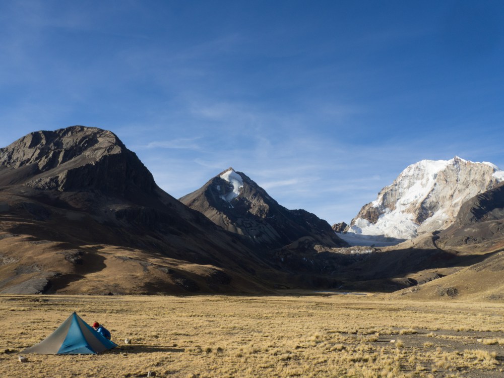
After ascending out of the Condoriri Valley we eventually found our way back down into the grassy highlands characteristic of the west side of the range. The highlight of the day was having a lunch of egg and avocado sandwiches and coffee in a Bolivian family’s home in the village of Tuni. It was our first real food in a week and tasted about as good as anything I’ve ever been served. The home and everything in it was slightly miniature and all very charming. In the same village we found we could also get a ride to El Alto for 200 Bolivianos. It was a tempting offer, but although we were definitely ready for warm beds in La Paz, we weren’t ready to call the trek just yet. We trekked on and were rewarded with a breath taking campsite below the 6088m peak of Huayna Potosi. There we met a Swedish and passed the evening playing cards in the tent and trying to re-socialize ourselves. We all felt a bit strange around other people. Spending 10 days in nature more or less isolated from society will do that to you.


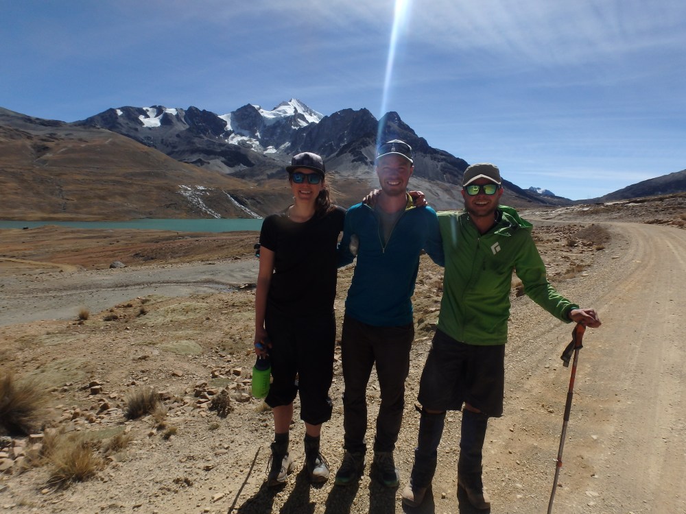
We spent the last day hiking over a high pass and descending into the next valley to meet the road access road to Huayna Potosi. The trek was all over in a flash. We were lucky and ran to catch a ride with a van coming down. Riding in a car felt bizarre after walking for so long. We had completed the Cordillera Real Trek unsupported in 10 days, a distance of approximately 130km.
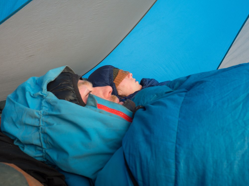
It was undoubtedly the hardest trek I have ever done. The first big challenge was our lack of food, which quickly became of singular importance. With my insufficient sleeping bag the nights were tough as well. Normally I look forward to going to bed, but on this trek it was quite the opposite knowing it would likely be another sleepless night of tossing and turning trying to keep warm. Almost each day features a high pass, so the hiking is strenuous with a pack on. To compound it all, the altitude gradually started to wear me down. Just like most challenging experiences it was a very satisfying one, and I couldn’t have asked for better partners with which to complete this spectacular and challenging trek. Thanks Darren and Rachel for an unforgettable trip!
T

Hi T
Excellent relate!
I felt your pain! Such a gruelling hike.
I loved when you said that after so many days it feels strange to be around people and ride a car !
Thats a sure sign that you just have done something special. How often can you feel that?
I bet that on the last couple days of the trip you were longing for some empanadas !!
Fabian
LikeLiked by 1 person